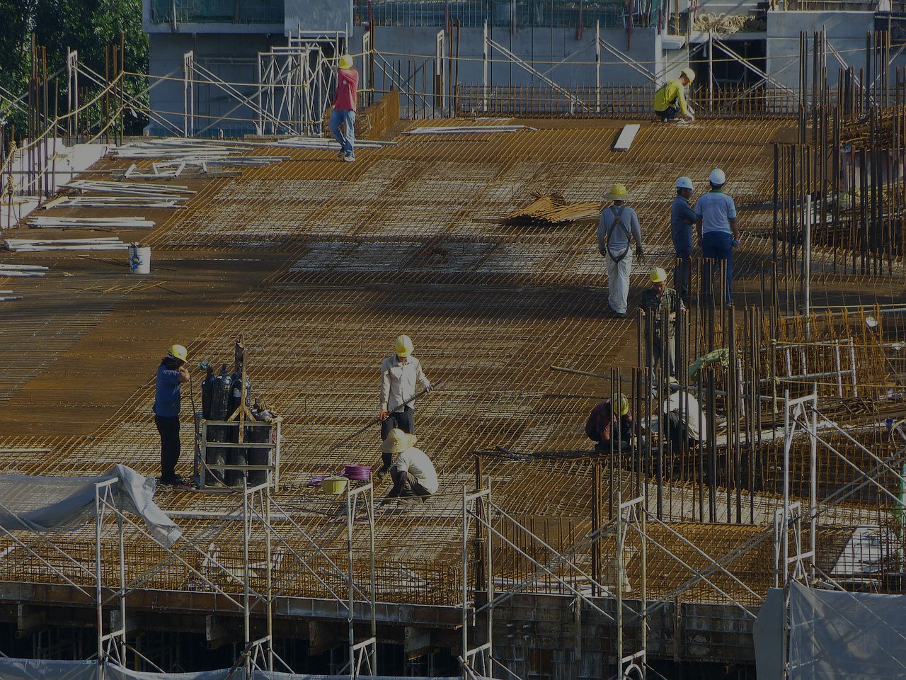
CONSTRUCTION | Construction And Development Services
More affordable than aerial images from full-sized aircraft.
Safer/more efficient than using ground personnel for surveys/inspections/reports.
More frequent, complete and up-to-date data for project management/progress reports.
Generate architectural overlays, 3D site & structure modeling.
Volumetric measurements (useful for monitoring stockpiles of costly resources like gravel and sand).
4K ultra high-definition cameras provide more precise details (i.e. cracks/corrosion) from above.
Get More Info : Construction
Website : https://ingeniousdrones.com/